From spatial data to real-world action
One place to see, understand, and act on what's happening across your assets, sites, and operations.


Field data is captured. Most of it goes nowhere.
Manual processes
Data is still captured on paper, photos, and spreadsheets.
Disconnected tools
Operational data is spread across systems that don’t talk to each other.
No traceability
There’s no clear record of what happened or why.
Field ↔ office gap
There’s no single, up-to-date view of what’s happening.
Start with the workflow you need.
01.
Capture
Import existing files or capture updates directly from the field.
02.
Connect
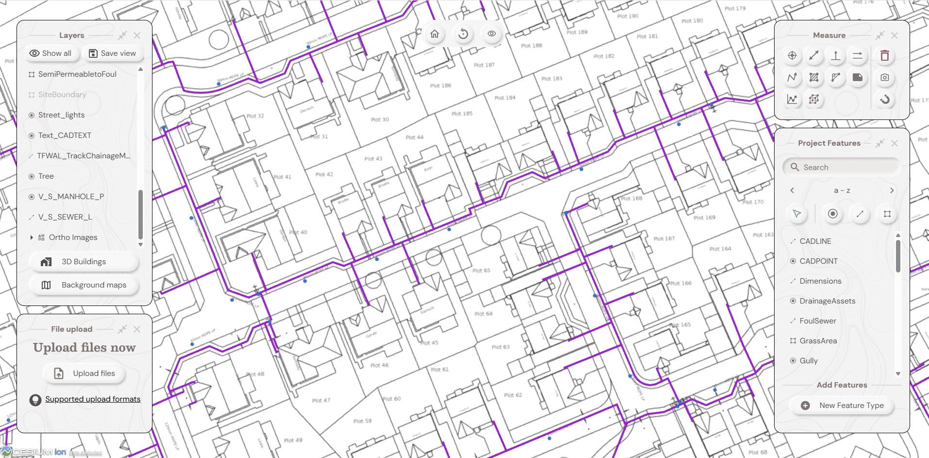
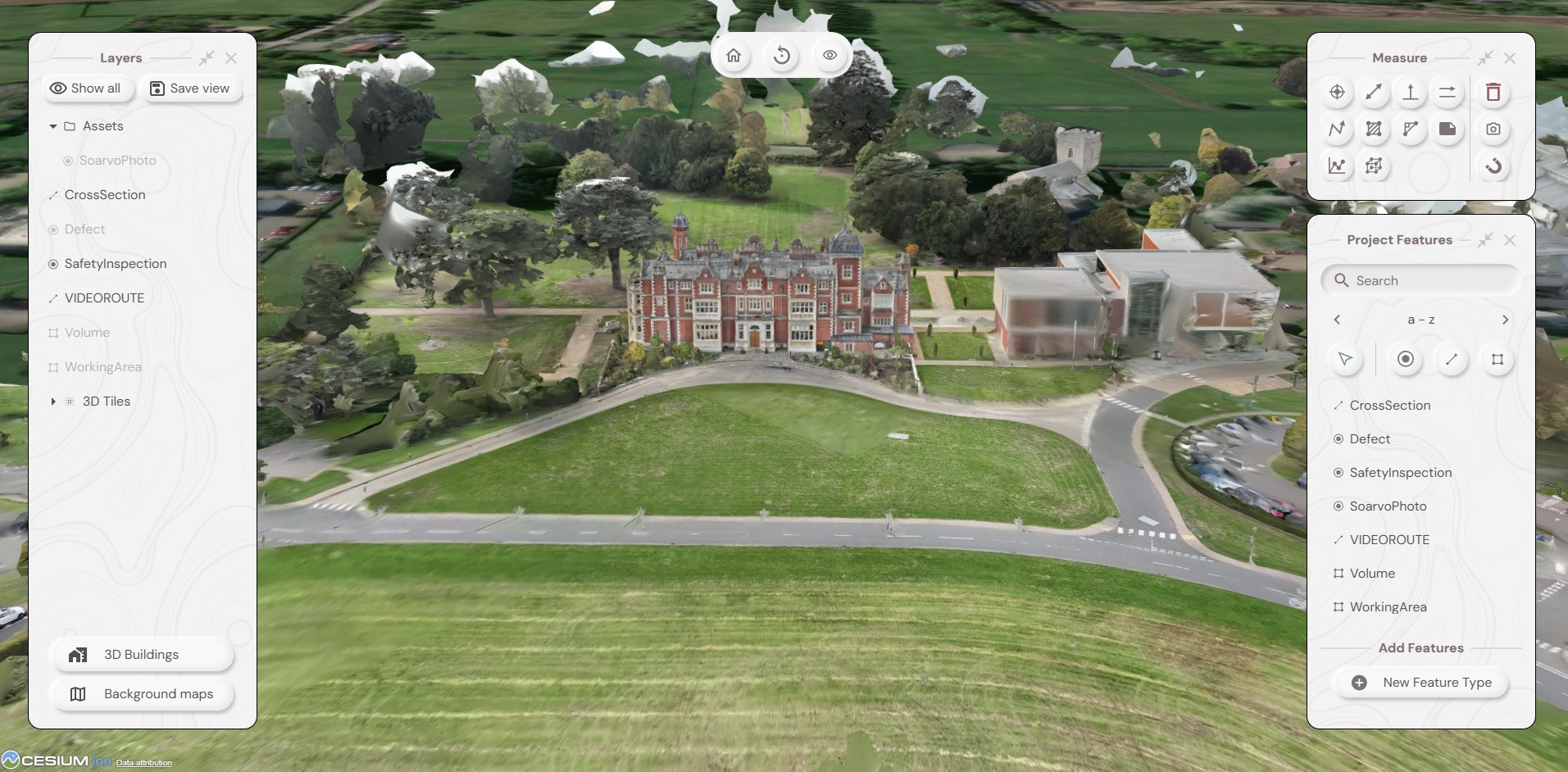
See everything on a map. Layer, filter, and explore your data so you can quickly understand what’s happening and where.
03.
Act
Assign work, record outcomes, and maintain a clear operational view through reports and dashboards.
— No GIS expertise needed. No lengthy implementation. Operational from day one.
Where Soarvo sits
VS.
vs spreadsheets & paper
No spatial context, no audit trail, and nothing connecting field to office.
VS.
vs QGIS / QField
Requires technical configuration to get operational value
VS.
vs Esri
Powerful, but built for specialists with complex implementation and high cost.
Built for the way your team works.
Utilities
Real-time field visibility, asset records, and compliance evidence from initial design to final record — across every crew and every site.
Land & Estate Management
One record for your land, properties, estates, and everyone who works across them.
Data Hosting & Sharing
Host survey, drone, and site data from every source in one place, and give clients a single clear view without the exports, emails, or software.
Infrastructure
Bring asset records, spatial data, inspections, and compliance workflows into one connected system.
“Soarvo replaced multiple disconnected systems with one intuitive platform for field surveys, drone imagery, collaboration, and reporting. Having one operational view across environmental projects and remote sites has completely changed how we deliver work.”
— Environmental Consultancy & Land Management Organisation
“Soarvo gives us one operational view across our utility infrastructure projects — connecting GIS mapping, field inspections, EV assets, and reporting in a single platform. Our teams now have better visibility, faster workflows, and clearer control across the project lifecycle.”
— Utility Infrastructure & Smart Energy Provider