Revolutionising Geospatial Data Management: Introducing Soarvo
In an era where data is not just king but the currency of innovation, the ability to gather, visualise, and share geospatial insights swiftly and efficiently stands as a cornerstone for industries ranging from surveying and engineering to drone operations and mobile mapping. Enter Soarvo a trailblazing platform designed to transform how professionals across Ireland, the UK, and beyond interact with complex geospatial data.
A New Dimension in Data
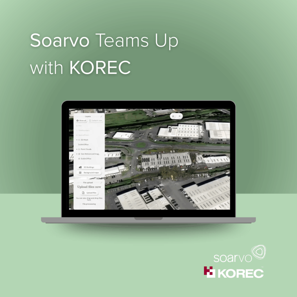
Soarvo is not just another data management tool; it’s a comprehensive solution that empowers users to combine geospatial data from a myriad of sources and file formats. Imagine visualising this data in a rich, multilayered, 3D geographic environment, then accessing, sharing, and analysing this information in real-time. This is the reality Soarvo offers, all without the need for expensive, complex hardware or software.
Designed for the User, Shaped by Innovation
At the heart of Soarvo’s development is a commitment to intuitive visualisation, collaborative connectivity, and adaptive versatility. Our platform is engineered to cater to the unique needs and workflows of a wide range of data collectors, engineers, businesses, and industries, empowering them to optimise their operations. With a user interface that prioritises clarity through simplicity, Soarvo ensures that even the most complex geospatial data is accessible and actionable.
Empowering a Connected Ecosystem
Collaboration is key in the modern workspace, and Soarvo fosters a connected ecosystem where diverse stakeholders can effortlessly contribute, access, and build upon collective knowledge Whether you are drone operator struggling to deliver data and surveys to clients, or a professional surveyor wanting to collaborate with colleagues, Soarvo enhances your ability to share insights and drive projects forward.
A Vision for the Future
Soarvo was born from a vision to revolutionise how captured data is managed, shared, and interpreted, optimising real-world outcomes. Our founders, Alan Browne and Paul Brodin, saw the growing need for more efficient and intuitive ways to handle geospatial data. Their journey from identifying this gap to developing Soarvo is a testament to the power of innovation and problem-solving in the geospatial space.
Join the Revolution
As we continue to push the boundaries of what’s possible in geospatial data management, we invite you to join us. Whether you’re in Ireland, the UK, or anywhere around the globe, Soarvo is ready to empower your data collection, visualisation, and sharing processes. Let’s unlock new dimensions in data together.
Soarvo: Unlock a new dimension in data. Gather, visualise, and share geospatial insights on one platform. Register your interest now.


