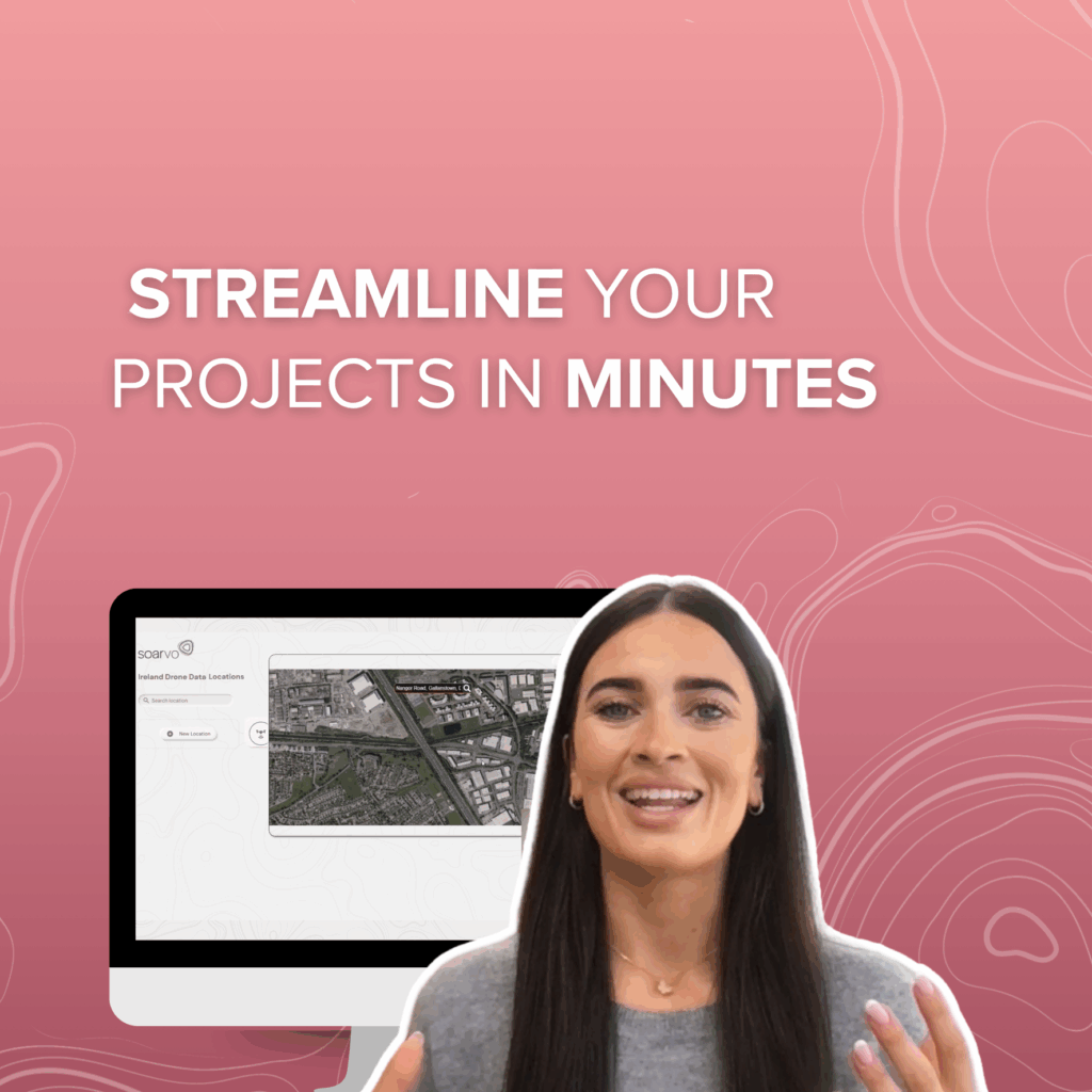
At Soarvo, we understand how overwhelming massive geospatial datasets can be. That’s exactly why we built Soarvo—to make sense of the complexity and give you clarity at every step. From high-density point clouds to 360° panoramas, side camera imagery, road surface visuals, and powerful derived datasets like point cloud intensity orthros and stitched mosaics—we handle it all. Seamless visualisation Interactive exploration Collaboration made easy Whether you’re a GIS expert, a field engineer, or just trying to make data-driven decisions, Soarvo transforms raw geospatial data into a clear, intuitive environment that anyone—your teammates, stakeholders, or clients—can engage with.


